
Lane County ZIP Code Coverage
Lane County publishes a ZIP-boundary GIS layer with ZIP, mail-city, and alternate-city fields. Its direct non-geometric query returns 39 Lane geographic ZIP and mail-city entries. The table reproduces that complete county GIS inventory, so the coverage does not stop at Eugene or Springfield. It is a geographic layer, not a guarantee that each line names a physical postal counter within Lane County or that every individual delivery address carries the same city name.
Use this table to locate the county GIS area, then validate the specific mailing address through USPS. The table's city wording is the county layer's mail-city context, not a statement of municipal jurisdiction.
| ZIP code | County GIS mail city / area | Postal geography note |
|---|---|---|
| 97324 | Alsea | County-layer area; validate exact delivery with USPS. |
| 97390 | Tidewater | County-layer area; validate exact delivery with USPS. |
| 97401 | Eugene | City and ZIP line do not settle tax or city jurisdiction. |
| 97402 | Eugene | Verify the individual delivery address with USPS. |
| 97403 | Eugene | Eugene mail-city geographic area. |
| 97404 | Eugene | Eugene mail-city geographic area. |
| 97405 | Eugene | Eugene mail-city geographic area. |
| 97408 | Eugene / Coburg | County layer supplies both mail-city contexts. |
| 97412 | Blachly | A map and tax lot can be more precise than the postal label. |
| 97413 | Blue River / McKenzie Bridge | County layer supplies both mail-city contexts. |
| 97419 | Cheshire | Verify exact address delivery. |
| 97424 | Cottage Grove | City and county custodians remain distinct. |
| 97426 | Creswell | Verify exact address delivery. |
| 97430 | Deadwood | Rural postal geography. |
| 97431 | Dexter | Rural postal geography. |
| 97434 | Dorena | County GIS entry. |
| 97437 | Elmira | Rural postal geography. |
| 97438 | Fall Creek / Jasper | County layer supplies both mail-city contexts. |
| 97439 | Florence / Dunes City | Coast and city postal geography. |
| 97446 | Harrisburg | County GIS area reaches Lane boundary geography. |
| 97448 | Junction City | Verify exact address delivery. |
| 97451 | Lorane | County GIS entry. |
| 97452 | Lowell | County GIS entry. |
| 97453 | Mapleton | County GIS entry. |
| 97454 | Marcola | County GIS entry. |
| 97455 | Pleasant Hill | County GIS entry. |
| 97456 | Monroe | County GIS entry. |
| 97461 | Noti | County GIS entry. |
| 97463 | Oakridge | County GIS entry. |
| 97477 | Springfield | City and postal geography. |
| 97478 | Springfield | City and postal geography. |
| 97480 | Swisshome | County GIS entry. |
| 97487 | Veneta | County GIS entry. |
| 97488 | Vida | County GIS entry. |
| 97489 | Leaburg / Walterville | County layer supplies both mail-city contexts. |
| 97490 | Walton | County GIS entry. |
| 97492 | Westfir | County GIS entry. |
| 97493 | Westlake | County GIS entry. |
| 97498 | Yachats | County-layer area; validate exact delivery with USPS. |
The Lane County ZIP-boundary GIS layer is the source for this geographic inventory. Its record query supplies the full non-geometric layer.
Lane County Postal Geography
Lane spans 4,620 square miles, from Eugene and Springfield through inland communities, mountain areas, rural valleys, and the coast. The county's scale makes ZIP geography useful, but a postal area remains separate from a tax situs, city boundary, school or fire district, voter precinct, and parcel boundary. An owner mailing address may also differ from the physical parcel address. A ZIP is only one part of an accurate location record.
The broad inventory shows why an Eugene-only search is incomplete. It also explains shared mail-city labels such as Eugene / Coburg, Blue River / McKenzie Bridge, Fall Creek / Jasper, Florence / Dunes City, and Leaburg / Walterville. In edge areas, an address can require both a USPS check and a parcel check before it is routed to the right local record office.
Verify a Lane County Mailing ZIP
Use USPS ZIP Code Lookup when the goal is exact delivery information. Enter the current street address, or begin with city and state when an address is not yet complete. USPS is the delivery validator; the county GIS layer supplies the wider geographic coverage. Checking both prevents a broad map polygon from being mistaken for an exact mail assignment.
The county site-address GIS layer can return ZIP and ZIP+4 for an address. ZIP polygons, address GIS results, and USPS delivery boundaries are not identical. That is especially important at city edges, in rural areas, and when an old document uses a locality label that does not match the present mailing city.
The USPS ZIP Code Lookup screen below is the address-level verification route.
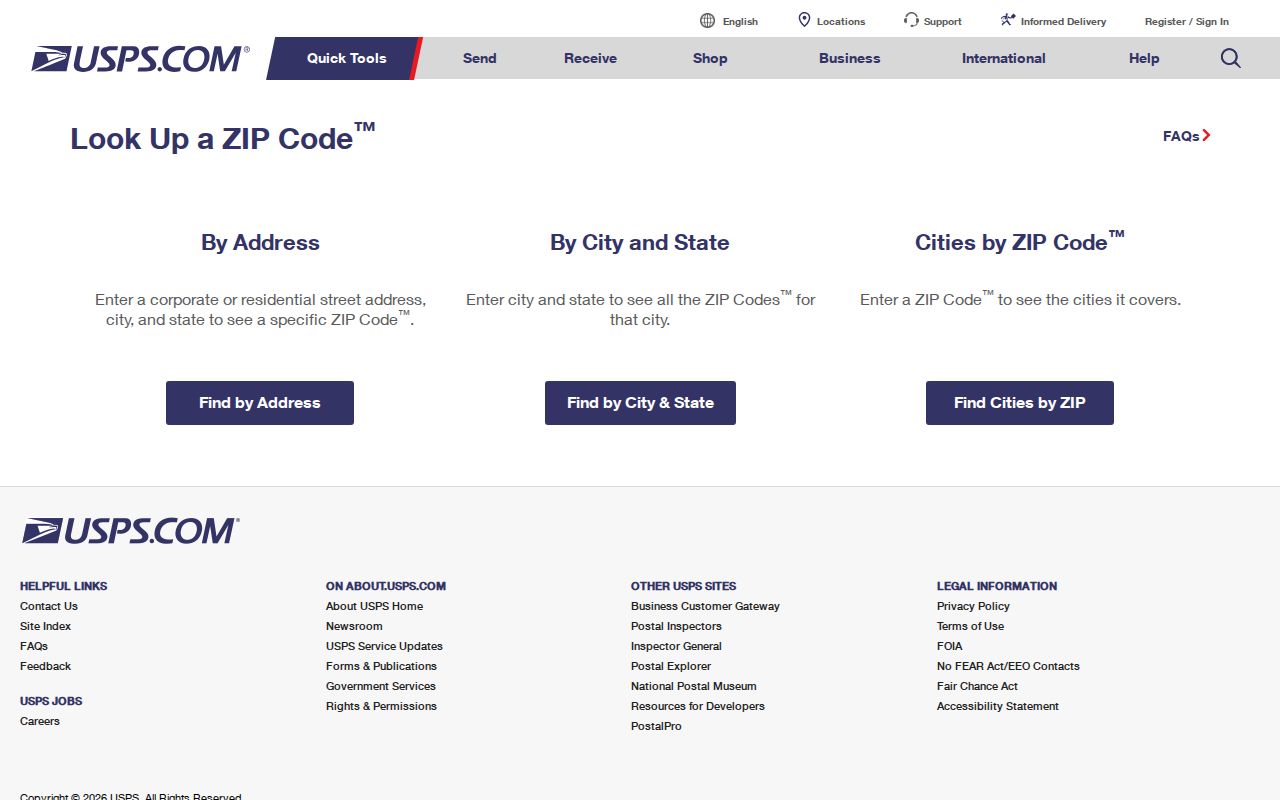
Note: USPS validation checks delivery addressing, while the county GIS table describes geographic coverage and should not be used as a post-office inventory.
Find Records from a Lane County Postal Area
A ZIP can organize the search, but the local property tools do not expose a verified ZIP-wide search in the publicly crawlable basic interface. Neither the Lane Assessor portal nor basic RLID supplies that filter. The documented route is to resolve a street address or map and tax lot, then open the property account or map result. Do not describe a ZIP as a shortcut to a countywide list of people.
- Verify the known delivery address in USPS and keep the full address exactly as returned.
- Open the county GIS ZIP layer to understand the surrounding mail-city geography and possible boundary overlap.
- Use the address, property account number, or map and tax lot in the county property route.
- Check the resulting situs address, parcel identifiers, and owner-of-record information only for the narrow purpose the record supports.
- For a city property, use a street address or map and tax lot in the Eugene permit route when project history is relevant.
Lane's property record can identify an owner of record and a tax mailing contact. It cannot prove who currently lives at a parcel or list every occupant. Once a ZIP has narrowed the place to a street, use the Lane County street directory for the fuller address-by-address record path.
Lane County ZIP Code Search Fields
The property interfaces document the local fields that actually lead into a parcel record. Their field structure is important because it prevents a ZIP code directory from promising a filter that was not verified. Use the physical address when possible. Use map and tax lot when an old deed, plat, or GIS map provides that identifier. An owner-name route is an owner-of-record search, not an occupant search.
| Local search field | Use in Lane property research |
|---|---|
| Account Number | A seven-digit account key, including leading zeroes, for a precise property account search. |
| Site Address / Address | The physical or situs route, using standard street formatting. |
| Map & Taxlot | The bridge from maps, plats, and legal-description research. |
| Name / Owner Name | An owner-of-record route, not a directory of non-owner occupants. |
Use the Lane County Property Account Information portal or RLID property research for these documented routes. The county Map Gallery provides the entry point for parcel, planning, and map layers.
Lane County ZIP Code Boundaries and Limits
ZIP boundaries and city limits answer different questions. A City of Eugene address, a county tax situs, a postal city, and a voter precinct can all have different outlines. Parcel records add another distinction: the situs address is the parcel's physical location, while the owner mailing address is where a tax authority sends notices. Neither should be turned into a claim about an entire household.
- ZIP code
- A mail-delivery routing code, not a city or county boundary.
- ZIP+4
- An added delivery detail that the county site-address layer may return for a specific address.
- PO-box ZIP
- A postal ZIP used for box delivery; its presence must be verified for the specific address rather than inferred from a county map.
- Unique ZIP
- A ZIP assigned to a specific delivery arrangement; the research did not verify one for this Lane inventory.
- Carrier route
- A postal delivery grouping, distinct from a parcel, city boundary, or a list of residents.
The documented local sources do not support a claim that a particular Lane entry is PO-box-only or unique. Keeping that limitation visible is more useful than assigning a postal role from a place name alone.
Lane County ZIP Code Areas in Eugene and Springfield
The county GIS layer places 97401, 97402, 97403, 97404, and 97405 in Eugene mail-city geography, with 97408 carrying Eugene / Coburg context. Springfield appears at 97477 and 97478. This group is a convenient way to orient a search, not a substitute for an exact delivery check or a municipal-jurisdiction test. Records may belong to a city office, county office, court, or state custodian depending on their type.
Eugene's permit system illustrates the difference. It searches by structured site address or map and tax lot, not a verified ZIP filter. Its online records begin June 3, 1998, while earlier material requires an address-specific public-records request. A permit may identify project parties or an applicant, but it is not a resident list.
The Lane County ZIP-boundary GIS service is shown below as the county's map-layer source.
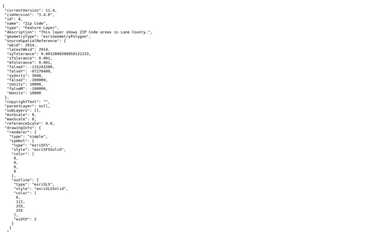
Note: Use the city permit archive for address and project history, not as a ZIP-wide directory or evidence of present occupancy.
Lane County ZIP Code and Address Continuity
Older records can be harder to place than a current ZIP. Lane's Surveyor collection includes road maps, donation-land claims, master road files, road-naming files, subdivision documents, and vertical-control material from about 1851 forward. Its historical Alpha Road Index points to viewers' reports, ordinances, plats, and field notes from about 1854 through 1980. Those records are the right bridge when a road name or legal description changes across time.
In Eugene, the first town plat dates to 1851 and later subdivisions of donation-land claims changed the land framework. No official source in the research verified one blanket Lane or Eugene renumbering year. Preserve an old street name and ZIP as historical clues, then test continuity with a plat, subdivision, map and tax lot, or legal description. That process is slower than matching a postal label, but it prevents false matches.