
Lane County Previous Residents by Era
The record trail behind a Lane County address changes with the era. For previous residents, a modern property account gives a current parcel starting point, while the title record and library indexes document owners moving backward. Tax material, local directory titles, census schedules, permits, maps, obituaries, and probate fill different gaps. No single source makes a complete list of prior households. The strongest result pairs a dated household source with a property identity, then checks the result against a second independent record.
| Lane source | Verified years | Where held | What it can show |
|---|---|---|---|
| Property account and RLID | Current | Lane County online routes or counter | Present parcel, owner of record, situs, and tax contact. |
| Grantor/grantee microfilm | 1902-1970 | Deeds & Records Research Library | Names and recording references for title work. |
| Grantor/grantee microfiche | 1971-1979; separate 1980-1998 indexes | Deeds & Records Library or office | Later historic index bridge. |
| Deed record microfilm | 1854-1952; later reels through 2003 listed | Archives and library inventory | Legal description and title-chain evidence. |
| Assessment and tax materials | 1941-1998, in documented sub-runs | Assessment historical files and inventory | Taxpayer and property-history evidence. |
| Verified Eugene directory titles | 1934; selected 1936-65 editions; 1945/46 phone book | Historic bibliography, then confirm a local copy | Dated name, address, and occupation listing. |
| Federal census | Through 1950 released | NARA or library genealogy access | Household as enumerated on a census date. |
Use the current property account only to establish the land identity. For a twentieth-century ownership change, move to the grantor/grantee formats. For a household question, compare a verified directory entry with the census nearest to its date. For older land, deed microfilm and plats often remain the better anchor.
Set a Lane County Resident Address Identity
Before looking for past residents, capture the present situs address, account number, map and tax lot, and legal description where the property record provides it. The official Lane County Property Account Information route searches by account number, map and tax lot, address, or owner name. RLID supplies Account Number, Site Address, and Map & Taxlot routes. The account number is seven digits, including leading zeroes; map and tax-lot entries use 13 or 16 digits without spaces or hyphens.
The owner of record and tax mailing address belong in the research notes, but neither should be called proof of present residence. A mailing address may be a post-office box, trust, agent, business, or other property. The situs is the parcel’s physical location. Separating those two addresses prevents a past-residents trail from starting with the wrong place.
The Lane County Map Gallery adds tax-lot, planning, zoning, floodplain, wetland, and related map context. Parcel boundaries and map layers are informational rather than a survey opinion, so retain the account and legal-description evidence as well.
Trace Lane County Previous Residents Through Deeds
Deeds trace an ownership chain, which can then be paired with dated household evidence. Begin with the current owner of record and the land description. Find the newest recorded conveyance, then use the named prior owner to locate the preceding transaction. The key test is continuity of lot, block, subdivision, or metes-and-bounds text. A street number can vanish from an older deed or change after a subdivision, but the legal description ties the title sequence to the same land.
- Record the current account, situs, map and tax lot, owner of record, and legal description from the Lane County property route.
- Request or inspect the newest conveyance through Lane County Deeds & Records. Save the grantor, grantee, recording reference, and land description.
- Search the seller from that conveyance as a grantee in the historical index to find the earlier acquisition of the same land.
- Repeat backward, checking every transaction against the legal description and noting name variations, plats, partitions, or changed road references.
- When the index period changes, continue at the research library’s microfilm or microfiche rather than assuming the modern online route reaches the next owner.
- Grantor
- The party transferring an interest in land on a recorded instrument.
- Grantee
- The party receiving that interest, whose earlier acquisition can lead to a prior conveyance.
- Chain of title
- The sequence of recorded transfers used to document ownership of the same land over time.
- Legal description
- The lot, block, subdivision, or metes-and-bounds land description that is more reliable than a changing street address.
A deed chain can identify prior owners. It does not establish that every owner, family member, or other named party lived at the address.
Use Lane County’s Deed Research Library
Lane County’s most useful house-history access point combines several formats at one location. Deeds & Records maintains a staffed public research library at 125 E. 8th Ave., Eugene, open Monday through Friday from 9 a.m. to noon and 1 to 4 p.m. The same address hosts the county’s land-record counter. The documented choices are public research, courthouse-related terminals, a subscription RLID route, and copies requested by phone at 541-682-3654 for email or mail delivery. Each channel serves a different part of the trail.
The Oregon Archives Lane County inventory identifies the historical deed, tax, court, vital, and map holdings that support an address trail.
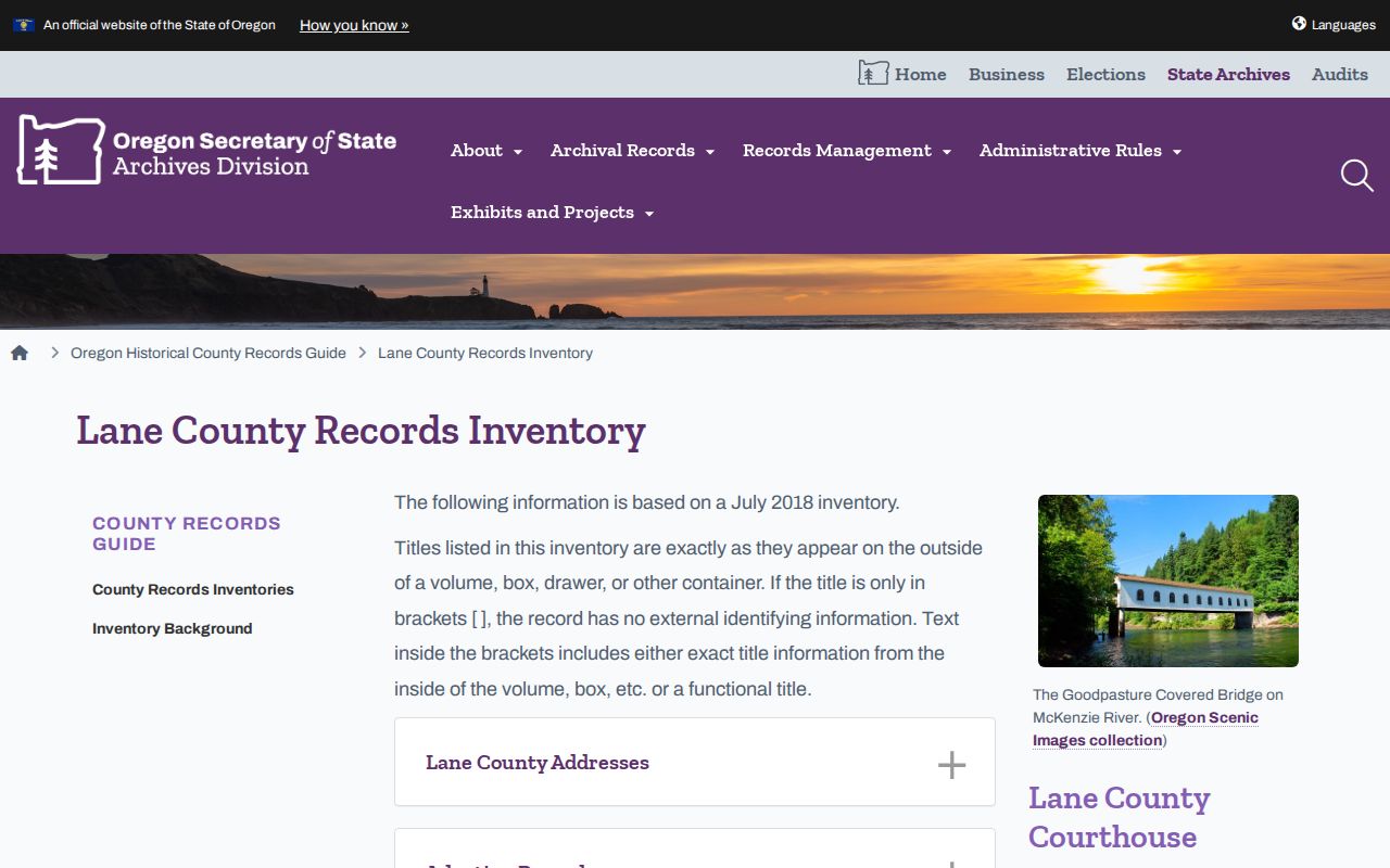
Its inventory describes grantor/grantee microfilm for 1902 through 1970, later microfiche, deed records back to 1854, and multiple tax-record formats. That documented mix is why an in-person index search can be necessary when a current property result stops at the present owner.
Note: Bring the map and tax-lot identifier, not only the street address, when asking for older Lane County land records.
Compare Lane County Tax and Plat Records
Tax and survey material can test the ownership sequence and explain an address change. The Archives inventory identifies continuing assessment rolls from 1941 through 1959, tax ledgers from 1942 through 1951, tax rolls from 1952 through 1971, tax years from 1970 through 1998 on microfiche, and tax statements from 1999 through 2015. The formats overlap rather than forming one seamless annual list, so retain the record type and date with every name.
For land continuity, subdivision-plat indexes run from 1856 forward and partition plats from 1975 forward. The county’s Surveyor’s Images & Documents Online is described as holding plats, road maps, donation-land claims, road-naming files, subdivisions, and vertical-control materials from about 1851 onward. A plat is a recorded map of a subdivision or other land division. It can connect an old lot or block description to later parcel language without treating an old street number as permanent.
Historic tax evidence normally identifies a taxpayer or property account relationship. It should be paired with a directory, census, or another dated record before someone is described as a member of a household at the address.
Pair Lane County Directories and Census
Directories and census schedules are the household layer of a past-residents search, but both need careful reading. Eugene’s verified bibliography cites Korstad’s 1934 directory, Salisbury’s 1945 directory, selected Johnson’s Eugene City Directory editions from 1936 through 1965, and a 1945/46 telephone directory. It does not confirm a full current shelf or digitized collection. Contact Eugene Public Library, University of Oregon Special Collections, or the Lane County History Museum before naming a local copy as available.
- Transcribe the name, address, occupation or other information from an authentic directory page exactly as printed.
- Check the same address in a reverse or criss-cross edition only after staff or a catalog confirms that edition exists.
- Pair the directory year with the nearest released federal census, currently 1950, and compare names, household structure, ward or enumeration context, and date.
- Test the address against a deed, tax record, or plat before deciding that a listing and the parcel are the same place.
- Use newspapers or obituary research as a lead, then corroborate the address with a primary land or household record.
A directory canvass can lag behind a move or list a business address. A census is one date rather than an annual ledger. The companion collections are outlined in the Lane County city directories, while the backward address trail remains anchored to the parcel and deed chain.
Date Lane County Address Record Changes
Building records can date changes to a structure even when they do not identify a household. Eugene’s online Permit Record Search covers permits applied for on or after June 3, 1998. A search may use a site address, map and tax lot, person or business name, contractor, project, permit number, or application date range. The city states that a street-wide check uses house number 0 with a street name. Results can show a log number, received date, name, site address, scope of work, and map/tax lot.
For prior permit and inspection material, Eugene requests one address per request and allows up to ten business days. Commercial plans are retained for the life of the building; plans for one- and two-family residential buildings are retained for two years after completion, with many 2017-current residential plans potentially digital. An applicant, contractor, or owner shown in a permit file is tied to the project, not automatically to residence at the property.
Use Lane County Probate and Archive Leads
Historical family sources can close a dated trail when property and directories leave uncertainty. The Oregon Archives guide lists Lane death-notice index coverage from 1864 through 1902, divorce index coverage from 1855 through 1900, marriage index coverage from 1853 through 1950, and marriage records from 1852 through 1891. Lane Birth and Death Abstracts for 1882 through 1915 are held at the Deeds & Records Research Library. These are research leads, not modern certificate access.
Lane’s territorial probate materials provide an especially early family-history route. The Archives describes probate journals from 1852 through 1859 and probate records from 1853 through 1859 with orders, bonds, guardianships, estate inventories, valuations, and alphabetical estate indexing. A known death notice or historical vital index can lead to an estate file and, in context, a representative or heir relationship. Court and archival access rules still apply.
The Lane County History Museum preserves the 1853 Clerk’s Building, described as the oldest authenticated building in the county. That surviving local record-keeping setting is a useful reminder that an address history often crosses archives, public counters, microfilm, and map records rather than one online search.
Keep Lane County Address Records in Context
Do not assume an early file uses the same address number or county geography as a current tax account. The Archives inventory preserves Alpha Road Index records tied to road names, viewers’ reports, ordinances, plats, and field notes from about 1854 through 1980. County road indexes and maps are another check. Lane County boundaries changed from 1852 through 1854, so an early record can require a geography check before it is attached to a modern parcel.
Eugene’s historic residential guidance says the first town plat was in 1851 and donation-land claims were later subdivided. Rail connections changed building patterns in the 1880s, and the 1909 through 1912 building boom created new additions and bungalow tracts. Those facts help interpret a property-era story, but they are not an identity shortcut. The safe continuity test remains legal description plus plat or subdivision, map and tax lot, and contemporaneous road-name documentation.
Respect Lane County Previous Residents Limits
Past-residents research can support house history, family history, estate work, and civic curiosity. It must not turn a title chain into a dossier about living people. Property accounts identify owners of record and mailing contacts, while historical directories and census pages provide dated listings. They do not reveal every non-owner occupant, utility customer, protected voter, DMV address, sealed court record, or restricted vital record. A no-result is not proof that a person was absent.
Oregon’s Address Confidentiality Program, voter-address exemptions, restricted vital records, and confidential court categories protect people for good reason. Respect a redaction instead of seeking the address from another source. Oregon stalking and harassment laws also apply to misuse of public information. Keep the historical question narrow, record the custodian and date for each result, and do not use the trail to follow, threaten, or intimidate anyone.
Lawful use. Lane County past-residents records are for responsible historical and personal research. Do not use a house-history trail to stalk, harass, or harm anyone.