
Lane County Neighbors by Parcel
For a block inquiry, an official search begins with the physical situs, account number, and map/tax-lot of the target property. The county’s Property Account Information tool accepts an account number, map/tax lot, address, or owner name, while RLID offers Account Number, Site Address, and Map & Taxlot routes. Once the target parcel is identified, use the map to select visibly adjoining tax lots. The result is a map-based view of owners of record, not a public household roster.
| Block source | What it shows about nearby parcels | Access and limit |
|---|---|---|
| Lane GIS or RLID tax lots | Adjacent-parcel geography and account or tax-lot linkage | Map aid, not a surveyed boundary or household list. |
| Assessment account | Owner of record and tax mailing contact for one selected parcel | Mailing contact may differ from the physical situs. |
| Recorder or deed index | Title sequence and legal-description continuity | Shows an ownership chain, not residents. |
| Eugene permit records | Address or street project history and named application parties | Online files begin June 3, 1998; parties may not be occupants. |
| Voter-list request | Lawfully available elector fields subject to exemptions | Request based, with no vote choices or protected addresses. |
| Neighborhood program | Recognized area and civic-contact structure | Not a member directory or household roll. |
Use the ownership information only for the narrow question it answers. A tax mailing address can belong to an agent, trust, business, post-office box, or another residence. It is a useful contact field on a tax record, but it does not prove who lives at the parcel.
Lane County Tax-Lot Boundary Checks
The Lane County Map Gallery connects a property search to tax lots, planning and zoning layers, floodplain and wetland information, district locators, and other map views. Start with the target address, select its tax lot, and record the account or map/tax-lot identifier. Then pan or zoom to the parcels that visibly meet its boundary. This provides the correct geographic base for a block inquiry.
Corner lots, irregular parcels, condominiums, common areas, and multi-lot developments need an extra check. The next street number may not touch the target tax lot. A legal description, recorded plat, or subdivision record can settle continuity when the map shape is unclear. The City of Eugene Property Explorer adds city layers such as secondary house numbers, plats, historical or aerial information, and recognized association areas, but the city warns that map results are informational rather than survey quality.
Do not claim an undocumented buffer or measuring tool. The current interactive map controls were not crawlable during research. Use the visible tax-lot boundaries and the records they link to, then consult the proper county or city record when a boundary matters.
Lane County Neighborhood Contact Layers
For many Lane County blocks, the respectful contact route is a civic organization rather than a records search. Eugene’s Neighborhood Program is the official gateway for recognized neighborhood organizations, newsletters, and contacts. Property Explorer includes an association layer with charter or number codes. Those codes can change when organizations consolidate or subdivide, so they locate an area rather than identify individual participants.
| Contact channel | What it is useful for | What it does not establish |
|---|---|---|
| Eugene Neighborhood Program | Finding a recognized association’s current civic contact and local notices | Membership, household composition, or a private roster. |
| Property Explorer association layer | Checking whether a city parcel falls in a recognized neighborhood area | A promise that every association publishes names. |
| Lane County communities outside Eugene | Starting a community-specific contact search when an organization publishes one | A countywide association directory. |
A captured Eugene neighborhood-association program screen shows the city-recognized civic-contact layer.
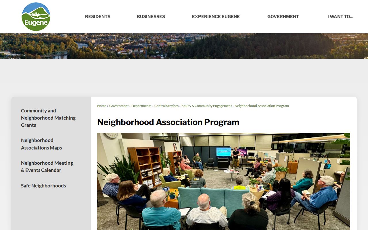
The program is a better route for introductions, newsletters, and neighborhood questions than trying to infer private membership from parcel information. Outside Eugene, verify the local organization’s current access rules before assuming it has a public contact or roster.
Lane County Permit History by Address
Permit history adds a project timeline to the block without becoming an occupancy record. Eugene’s permit search can search by site address, map/tax lot, person, contractor, project, permit number, or received-date range. A site-address search uses Number, Direction, Street Name, Street Type, and Permit Status. The city says a house number of 0 plus the street name searches properties across that street, which is useful for comparing construction activity on a block.
Online permit data begins June 3, 1998. For earlier material, Eugene directs requesters to an address-specific permit or plan records request. An applicant, contractor, owner/applicant, and site address may name different people. The useful conclusion is that a project was filed at a place or along a street, not that a named party lives there.
A captured Eugene permit-record request page documents the online cutoff and the pre-1998 request path.
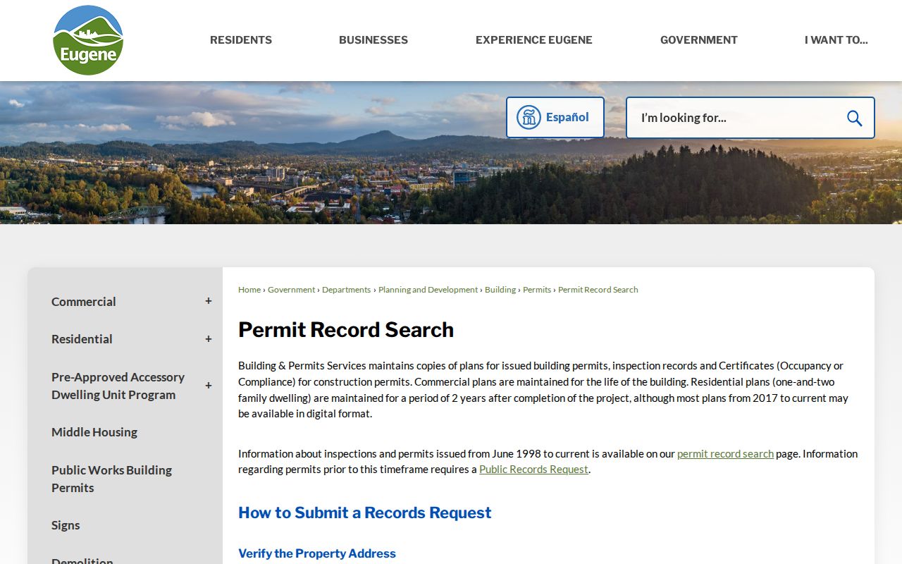
Use the request route when an older address file matters, and narrow the request to the property, date range, and record category so the city can identify the correct materials.
Map a Lane County Block
Mapping a Lane County block means tracing parcels outward from one identified property. The process preserves the distinction between adjacent land and the people who may live nearby. The assessment account is the place to confirm an owner of record after the map shows which tax lot is adjacent. Deeds help with the ownership sequence and legal description, while permits and association contacts add different context.
- Search the target’s situs in the county property account portal or RLID. Capture the account number, map/tax lot, owner of record, and legal-description clue where shown.
- Open the map context and select only tax lots that visibly adjoin the target boundary. Recheck corner, condominium, common-area, and multi-lot parcels before treating them as adjacent.
- Open each selected assessment account separately. Record its owner of record and the distinction between the physical situs and tax mailing contact.
- When ownership continuity matters, use the legal description with Deeds & Records. For a whole named street rather than the immediate block, use the Lane County street directory workflow.
The complete flow is address to target parcel, target parcel to adjoining tax lots, adjoining tax lot to owner of record, then legal description to recorded ownership history. It deliberately stops short of claiming a resident list.
Lane County Voter Visibility Limits
Oregon My Vote is an individual registration-information service, not a public searchable street roster. The official route asks for a name and date of birth, then may require a CAPTCHA. A person checking or correcting their own information can use Oregon My Vote or contact Lane County Elections. Do not describe that tool as a way to browse the voters near an address.
A broader electronic voter list is obtained by request through the state or county process. Oregon allows a geographically scoped request, but ORS 247.948 governs public fields and exemptions. It does not disclose vote choices, full date of birth, Social Security number, driver-license number, signature, HAVA documentation, disability information, or protected voter material. The voter record may show registration information for an elector, not every person at an address.
Lane County Elections handles county election services and list-format questions. Address protection also matters: SEL 550 can seek voter-address exemption, and the Oregon Address Confidentiality Program protects qualifying participants. A missing or redacted result should remain missing or redacted.
Lane County Neighbors: Record Sources Compared
Official records and commercial neighbor-lookup products have different strengths and limits. An official account or deed can be checked with the custodian and has a defined record purpose. A commercial product may combine public and private data, cost money, and attach stale or mismatched details to a similar name. Neither type turns a tax mailing contact into proof of a present household.
| Source category | Best use for a Lane County block | Key limit |
|---|---|---|
| Official parcel, assessment, and deed records | Checking a selected tax lot, owner of record, and title sequence | Does not identify all occupants or household members. |
| Official permit and neighborhood channels | Understanding project history or finding published civic contacts | Parties and association boundaries are not private member lists. |
| Commercial neighbor-lookup category | Only a prompt to seek confirmation from an official source | Can be outdated, incomplete, or merge identities. |
Oregon’s consumer-privacy and data-broker rules can apply to qualifying private businesses. They do not automatically remove accurate county records or validate a commercial result. Correct an official error with the office that maintains the record.
Lane County Neighbor Privacy Boundaries
Public address records do not reveal non-owner occupants, every household member, utility customers, DMV addresses, or protected voter information. A deed describes title history. A tax account identifies an owner of record and a tax contact. A permit identifies a project relationship. Each has value within that narrow scope, but none is a public answer to who is inside every home near a parcel.
Oregon law also protects confidential information. Address Confidentiality Program material, protected voter records, restricted vital records, and sealed or otherwise confidential court information must not be reconstructed. Oregon Public Records Law grants access to existing nonexempt records, not a right to demand a personal dossier. Make a focused request to the true custodian when a documented record is needed.
Lawful use. Lane County neighbors research is for personal, lawful purposes such as understanding a block, reconnecting through public civic contacts, or checking a property record. Never use a result to watch, stalk, harass, intimidate, or harm anyone.
Note: Community participation is voluntary, and no association contact layer should be treated as a list of everyone who lives within its boundaries.